Landforms Central
eLearning Object
Landforms Central
Copies
0 Total copies, 0 Copies are in, 0 Copies are out.
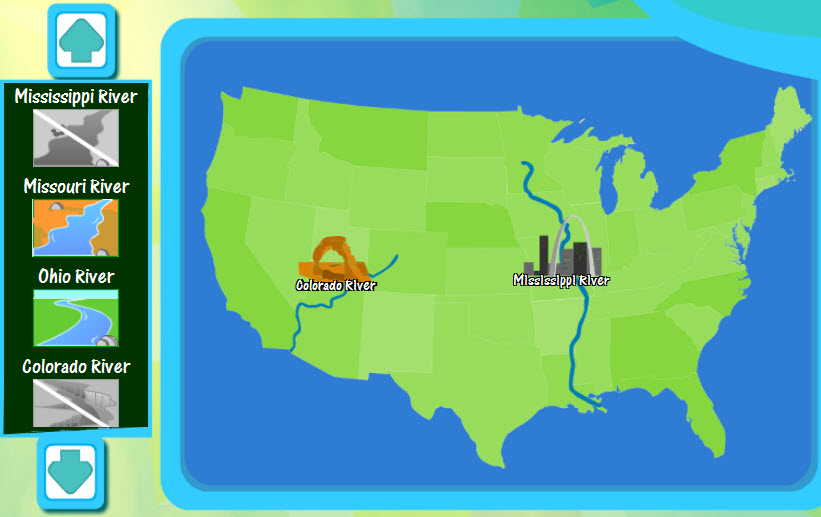
In Landforms Central, users must drag and the drop the United States land features to their correct places on the map. When the land features is dropped correctly on the map, it will appear along with an iconic image associated with that land feature. Users must correctly place the Mississippi, Missouri, Ohio, Colorado, Columbia, Potomac, and Hudson Rivers along with the Rio Grande as well as the Rocky and Appalachian Mountains and the Coast Range.
  • Share It:
  • Pinterest