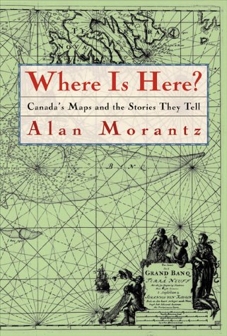
Where is here? : Canada's maps and the stories they tell
print
Where is here? : Canada's maps and the stories they tell
Copies
5 Total copies, 5 Copies are in, 0 Copies are out.
Canadians have been confronted by this riddle since the first hunters appeared on the frozen northern tundra via the Bering land bridge. The Aboriginal peoples learned to survive by charting the land and sea with stories, songs, and stones. The Europeans who followed them employed modern tools to draw their own lines, using maps as agents of exploration and conquest. Even today we try and win ownership over nature from our foothold in outer space, using satellite images to photograph and chart the Earth's surface. This book is about how, from the earliest days, we have used maps to shape our country and how, in turn, maps have shaped us.
  • Share It:
  • Pinterest