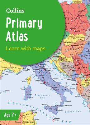
Collins primary atlas.
print
Collins primary atlas.
-- Primary atlas
Copies
1 Total copies, 1 Copies are in, 0 Copies are out.
An introduction to mapping of the UK, Europe and all major regions of the world. It supports the Key Stage 2 curriculum and is suitable for children aged 7-11 years. This new, fully up-to-date edition includes information on map reading skills, the meaning of scale and measuring distances.
  • Share It:
  • Pinterest